World map Coloring Pages
 By:
Jennifer Thoa - Content Editor & Designer
Updated:
By:
Jennifer Thoa - Content Editor & Designer
Updated:
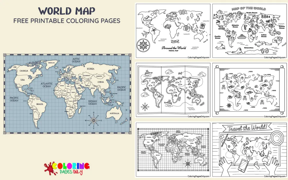
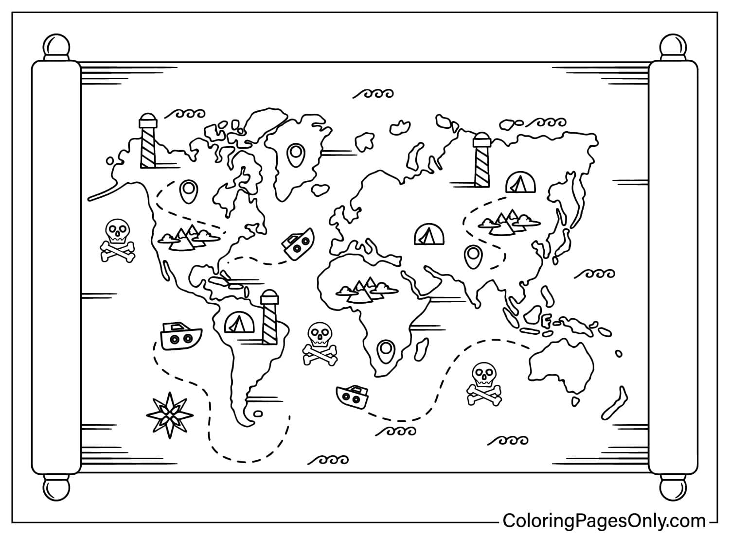
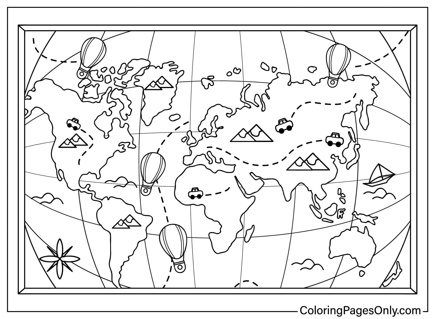
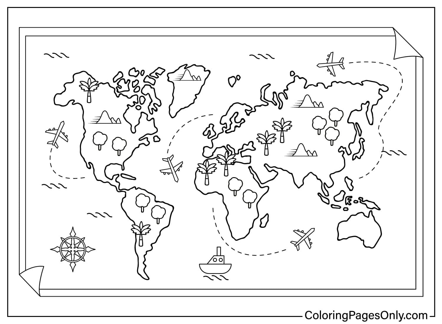
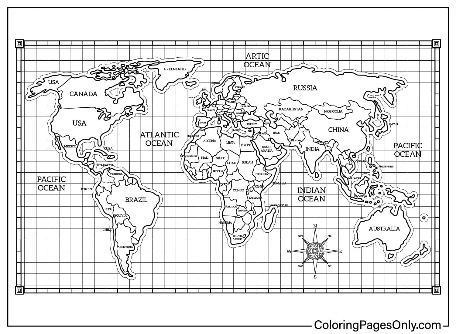
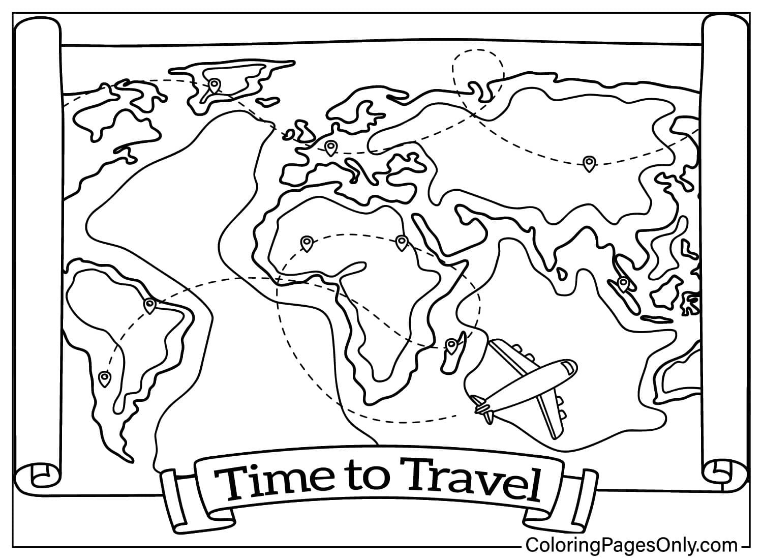
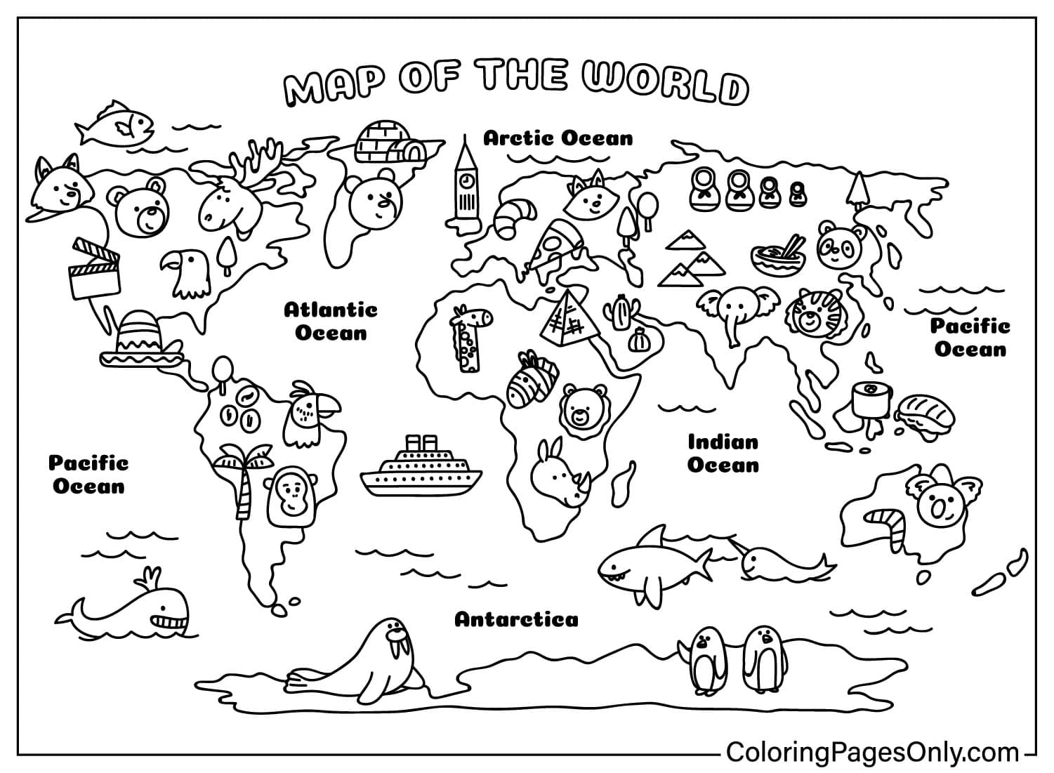
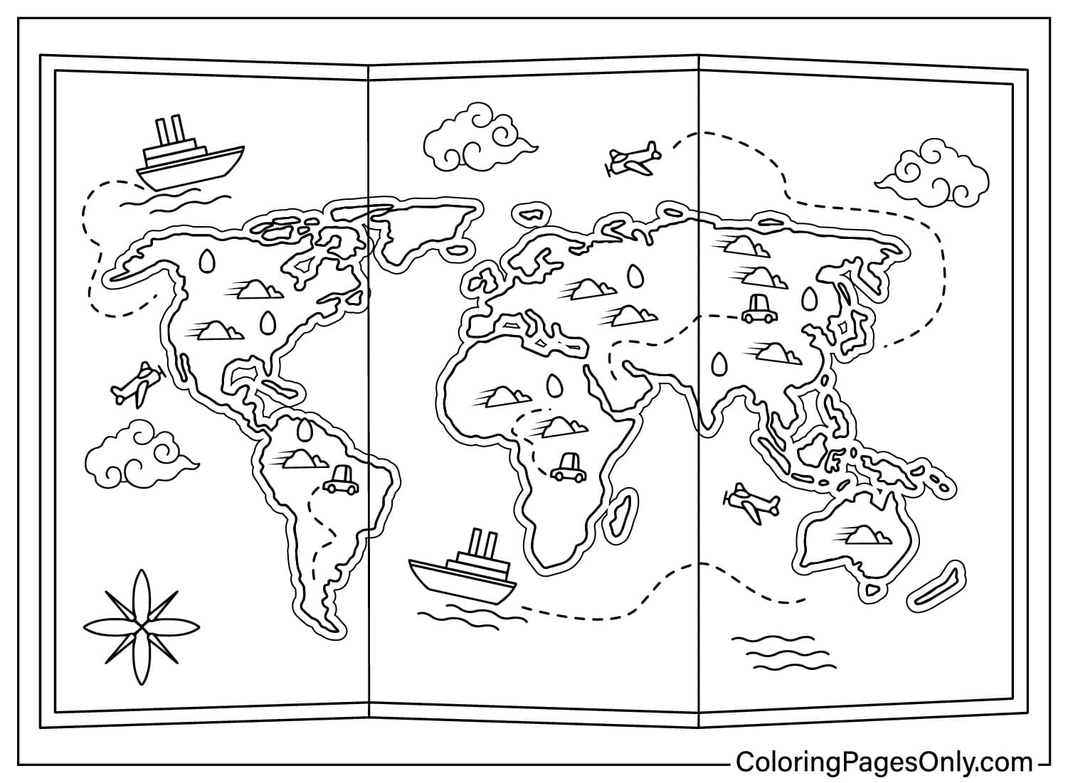
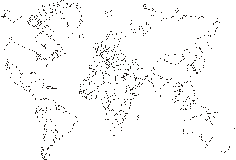
This world map coloring pages collection has 38 printable designs covering individual continents, the full world map in several styles, and a set of educational geography pages. Every world map page can be saved as a printable PDF or worked on directly in the site’s own online tool.
What’s Inside This Collection
Individual Continents
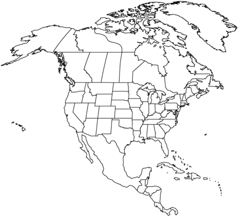
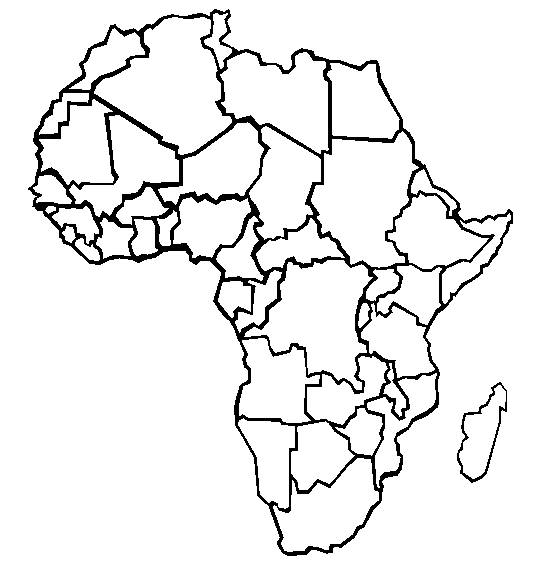
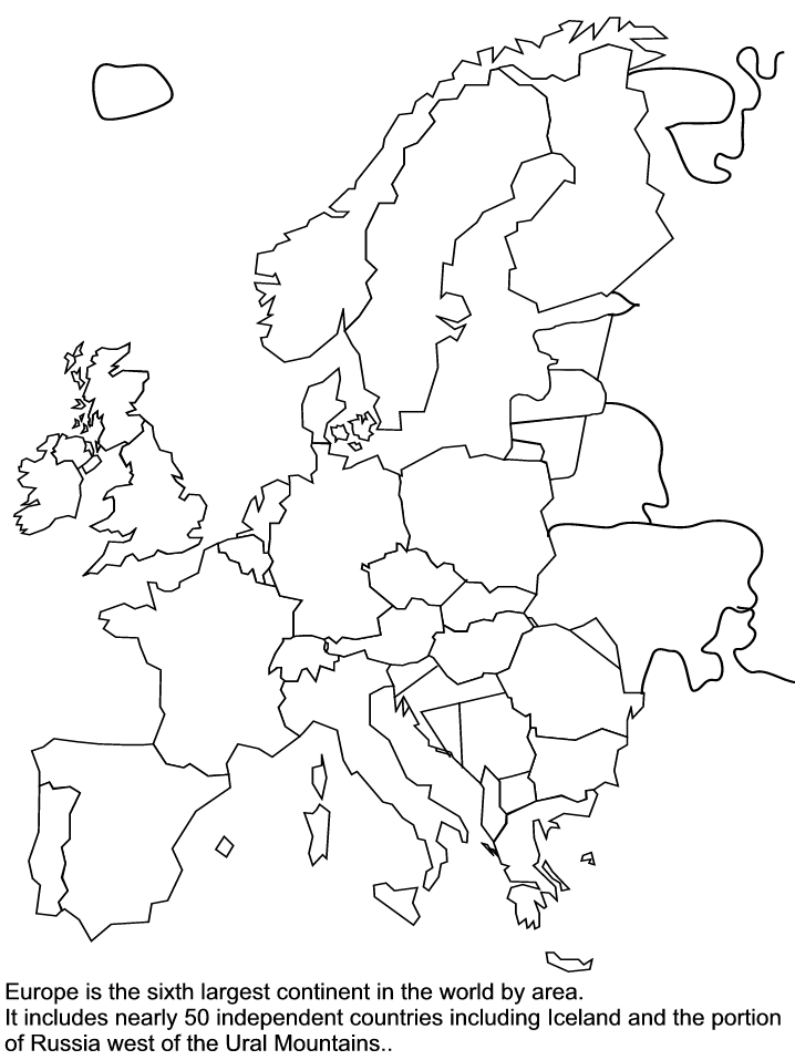
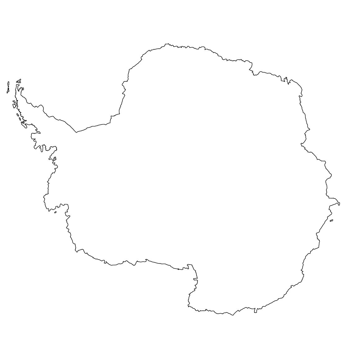
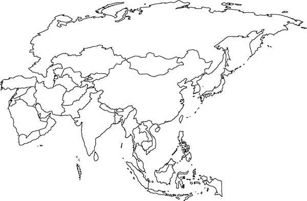
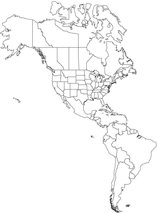
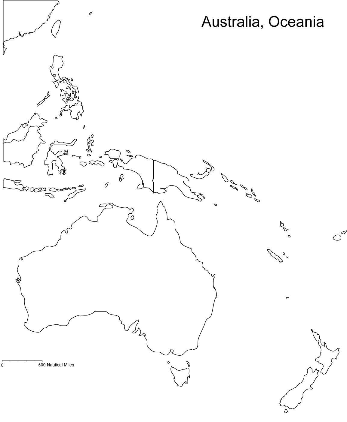
Several pages cover a single continent at a time, including North America, Africa, Europe, Asia, Antarctica, and Australia and Oceania.
Full World Maps
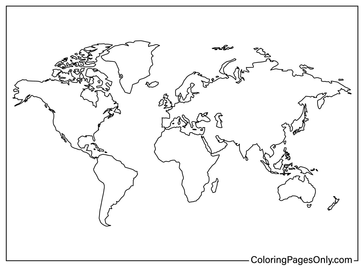
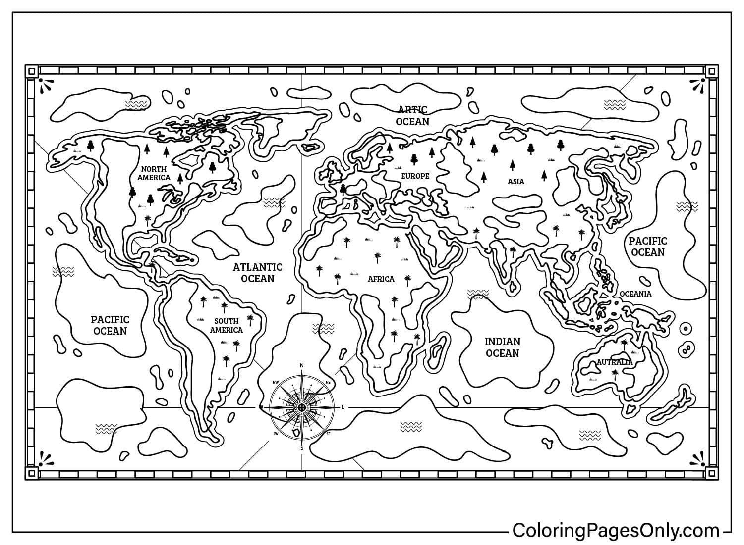
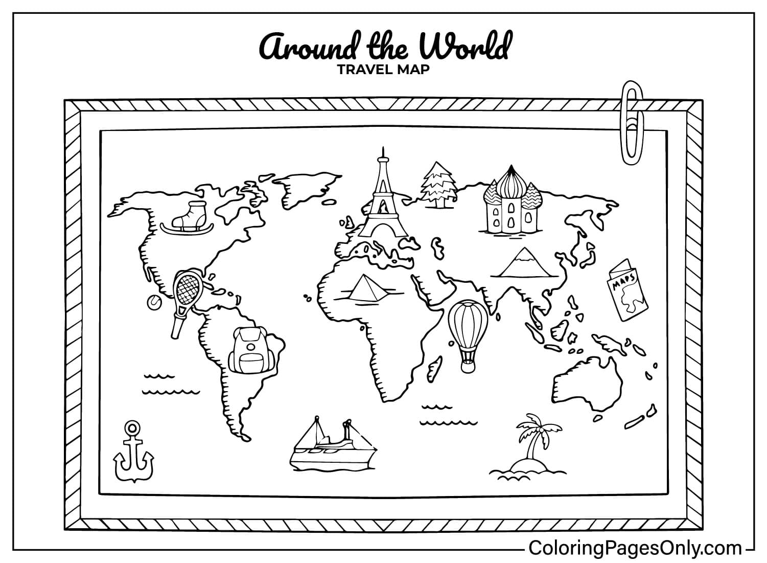
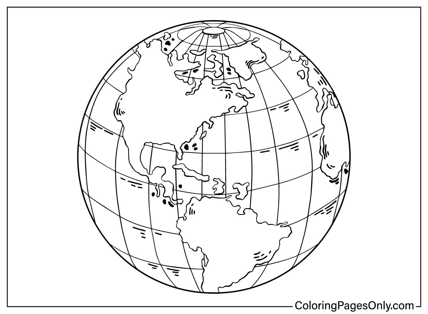
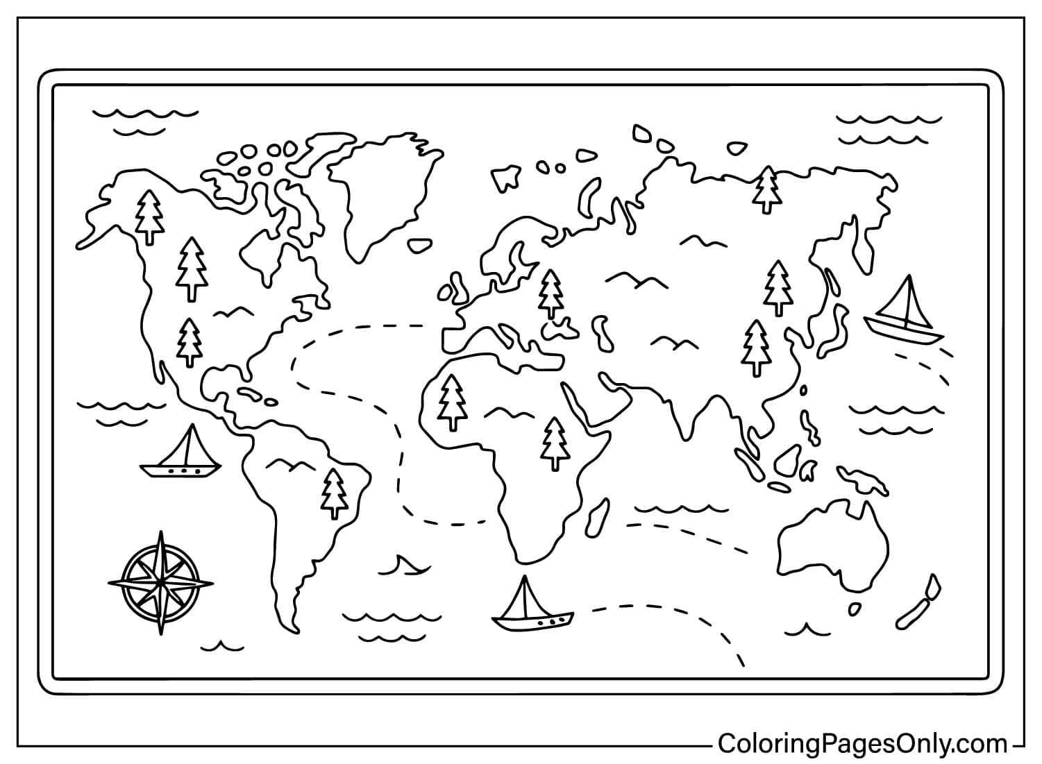
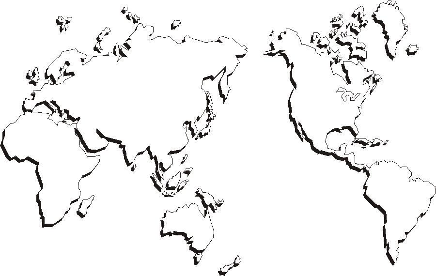
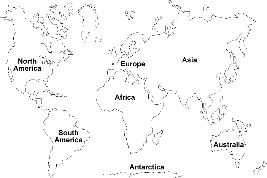
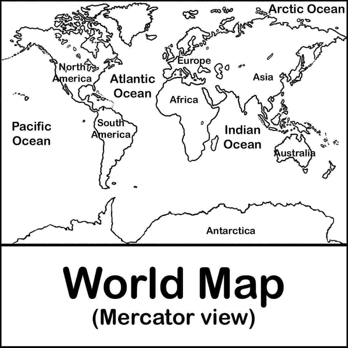
A large share of the collection shows the complete world map in different styles, including a political map, a Mercator projection, a 3D-style continent map, and a simple blank map for preschoolers.
Biomes and Natural Features
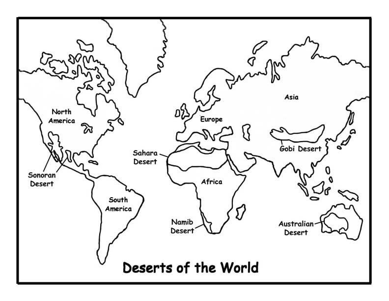
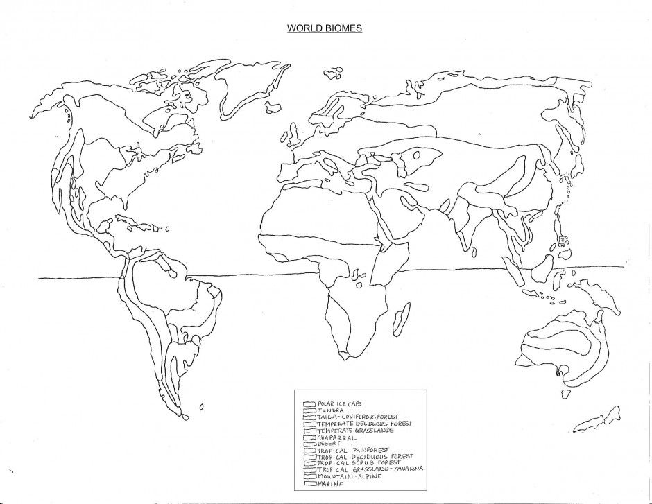
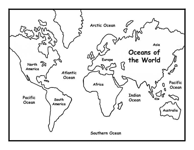
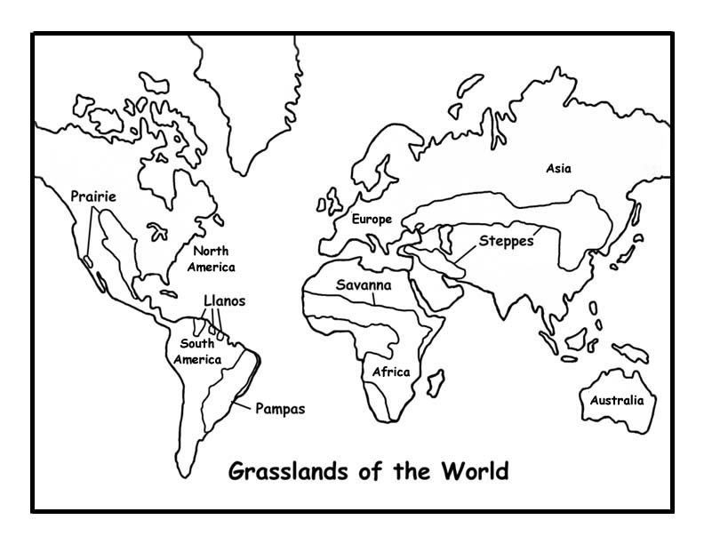
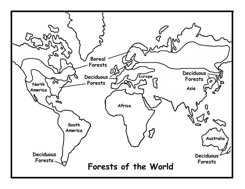
This section covers the world’s grasslands, forests, and deserts, plus a dedicated map of the world’s oceans.
Earth Science Pages
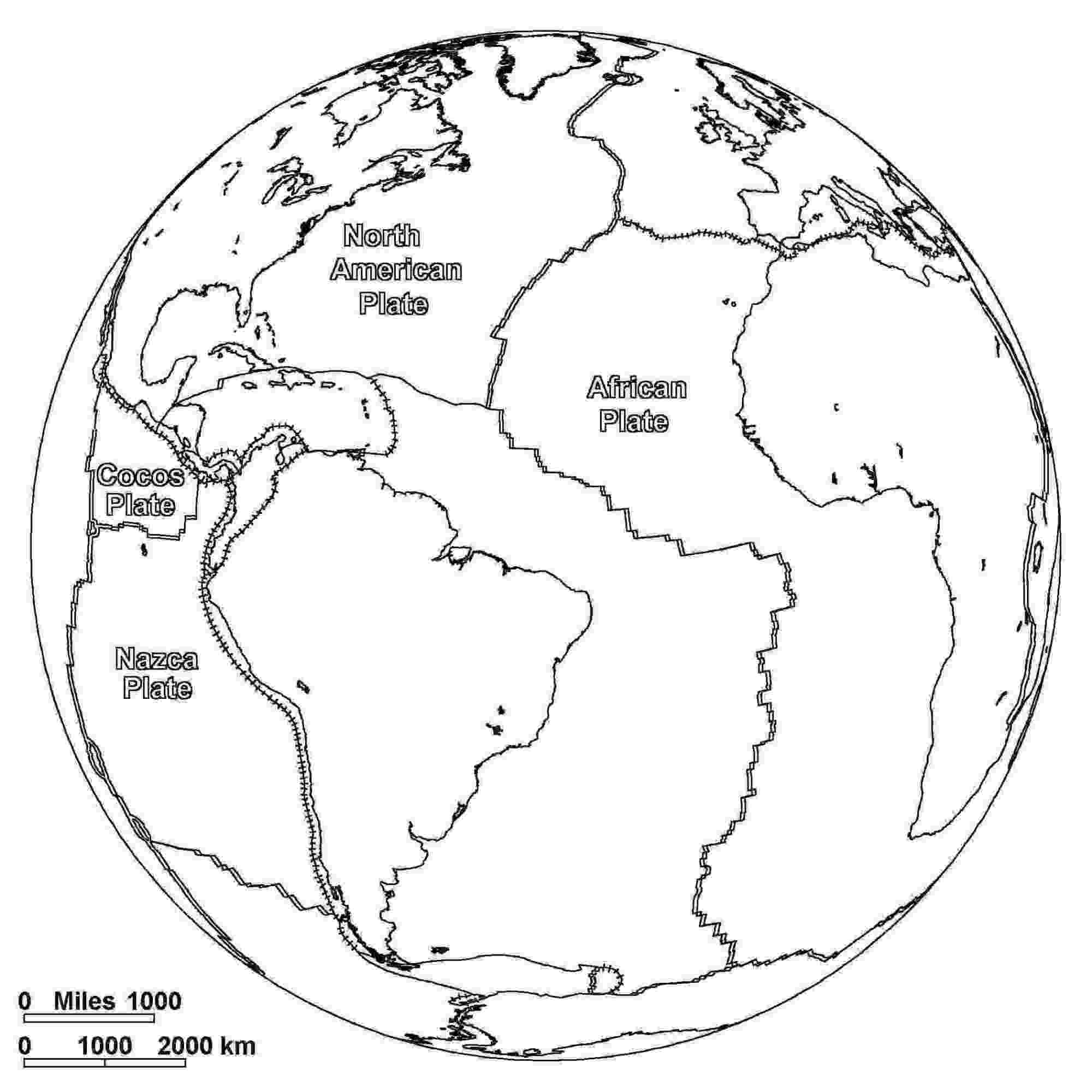
One page shows the major tectonic plates and their approximate direction of movement, a more advanced geography topic for older students.
Travel and Everyday Pages
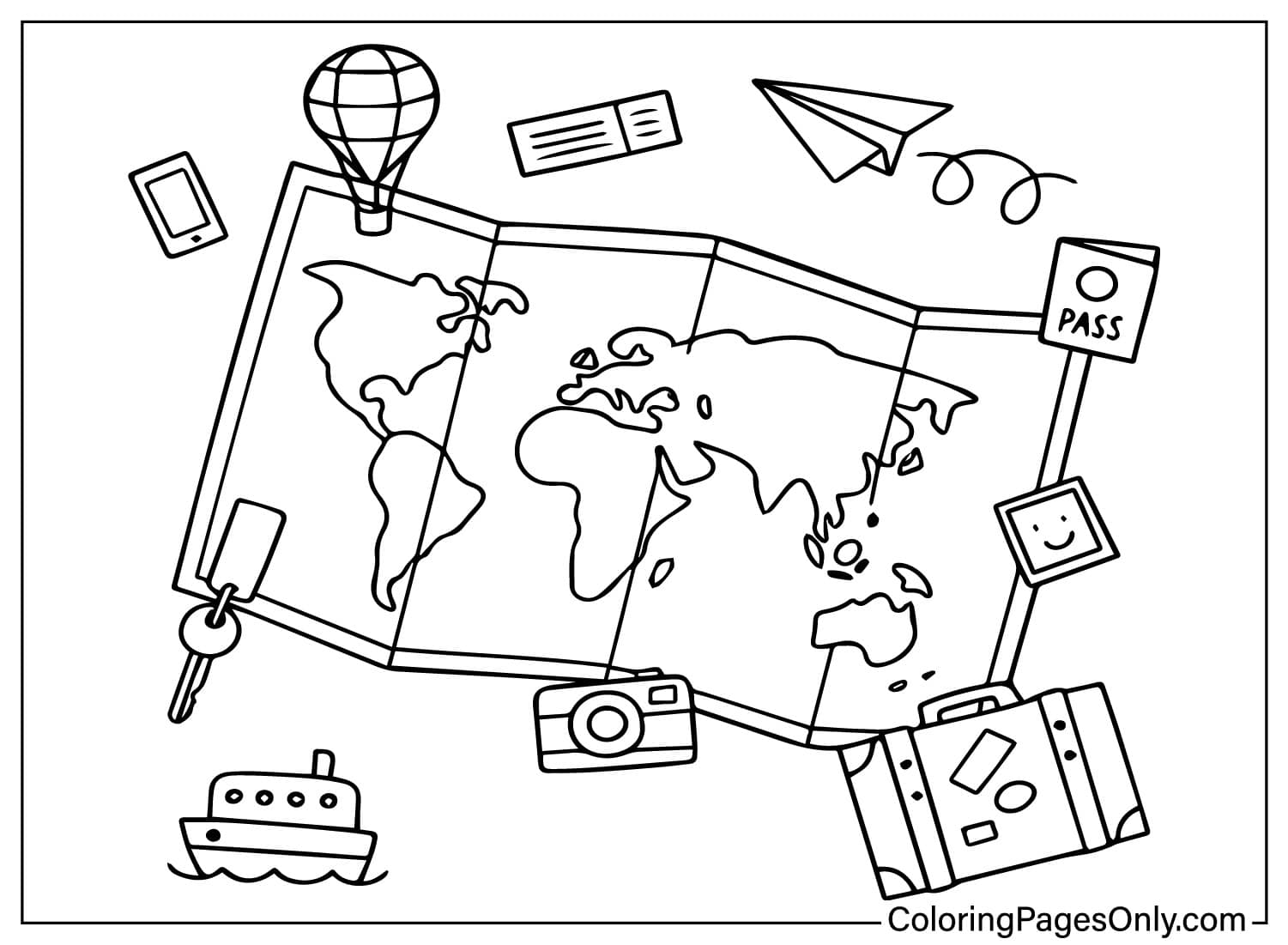
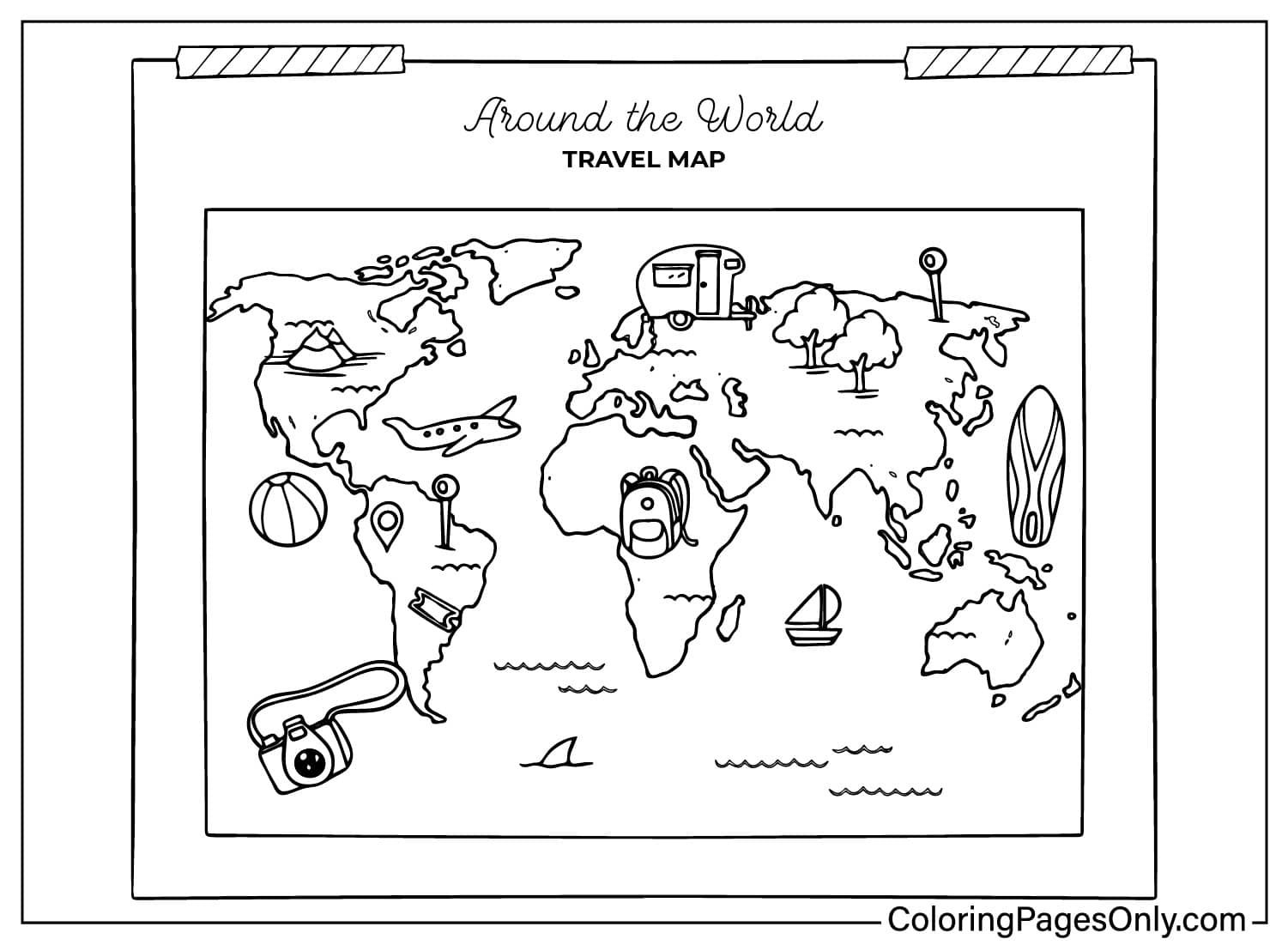
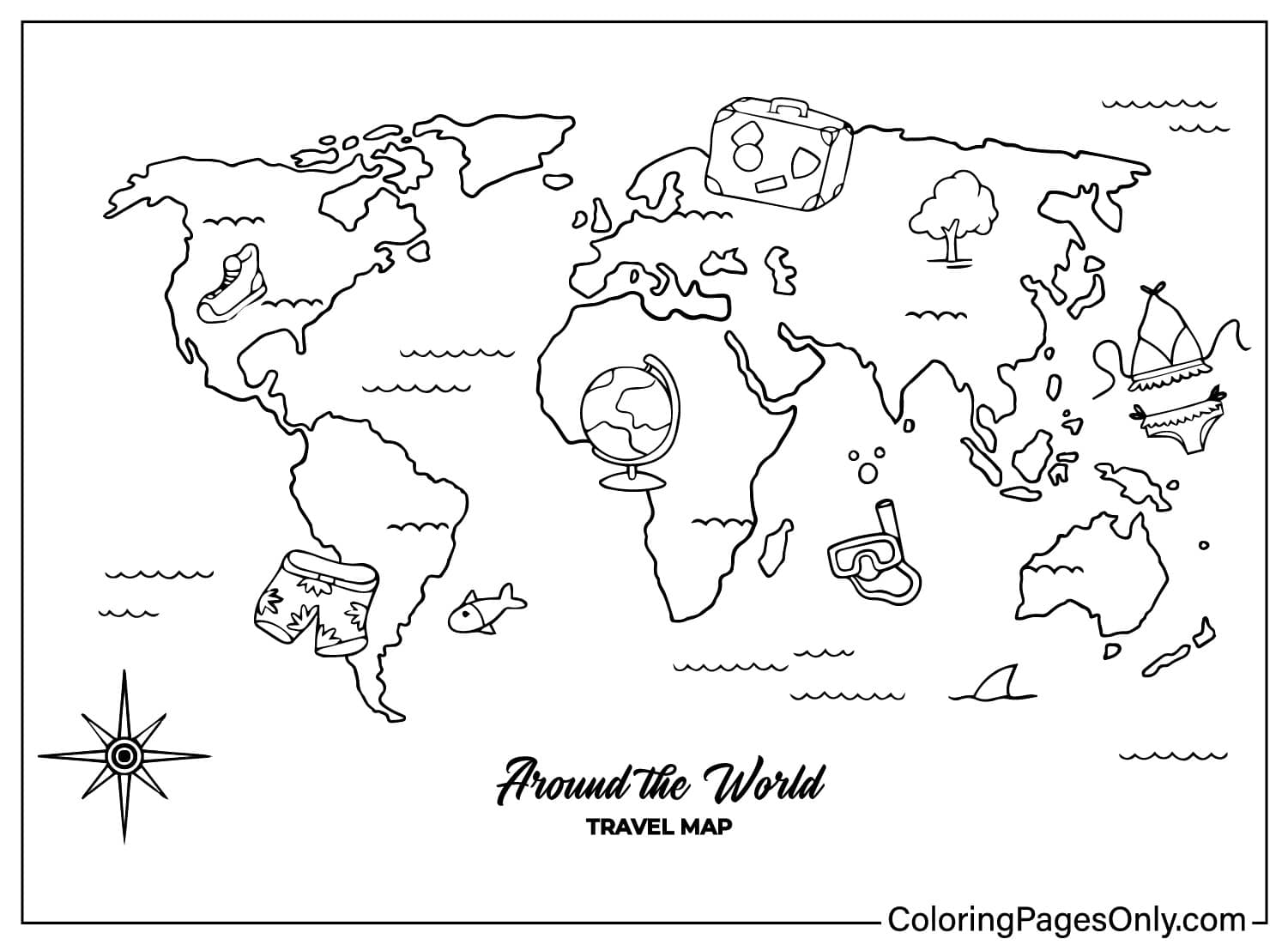
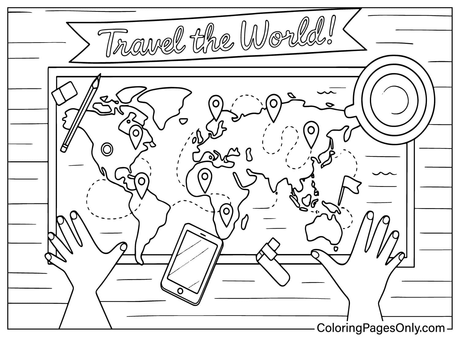
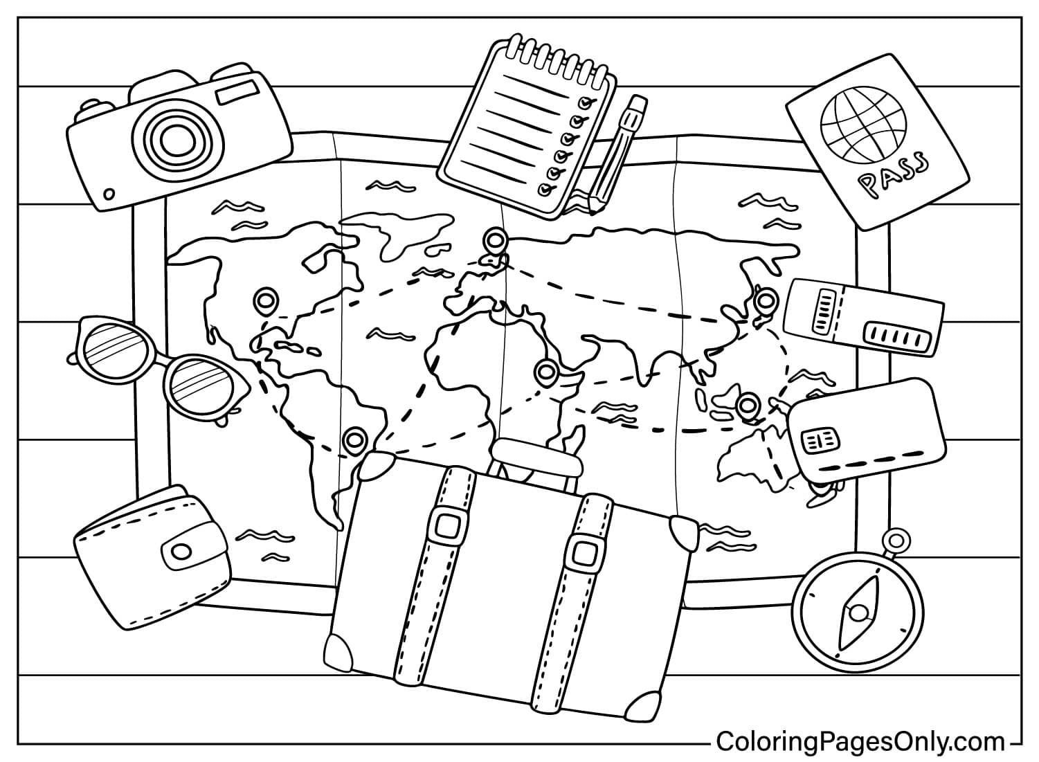
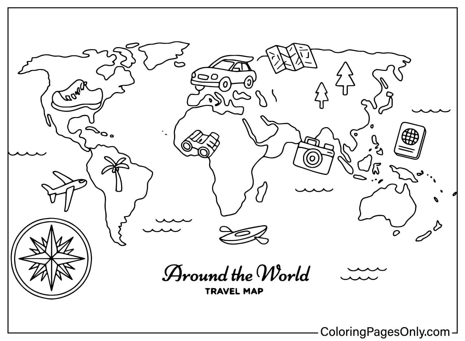
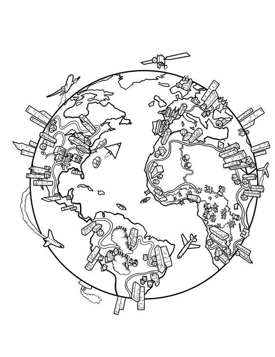
The rest of the collection includes a world map surrounded by travel and daily items, plus an Earth globe framed by buildings and transportation.
What These Pages Do
The American Academy of Pediatrics identifies fine motor skill development as a core benefit of structured coloring for children ages 2 through 7, and the blank preschool map and easy world map pages suit that age range well, while the tectonic plate and biome pages reward older students studying geography.
A 2005 study in the Art Therapy Journal documented measurable reductions in anxiety following structured coloring sessions, and a geography-based page gives a colorist a calm, focused task that doubles as a study aid.
A world map lays out the continents, oceans, and countries of the planet, making it a useful visual reference for geography lessons at any grade level.
How to Color World Map Pages Well
- Continent pages: a different color for each landmass makes the borders between countries or regions easier to follow.
- Political map: keep neighboring countries in contrasting colors so each border stays clear.
- Biome pages: green for forests and grasslands, tan for deserts, and blue for oceans keep the categories easy to read at a glance.
- Tectonic plate page: a distinct color per plate, with small arrows left uncolored, helps the movement directions stand out.
- Blank preschool map: simple, single colors per continent work best for very young learners just starting to recognize shapes.
5 Creative Craft Ideas With World Map Coloring Pages
1. Classroom Geography Wall
Color a set of continent pages and mount them together on a classroom or bedroom wall.
2. Biome Comparison Chart
Color the grassland, forest, and desert biome pages side by side to compare the world’s major environments.
3. Travel Dream Board
Color the world map and the daily items page, and pin it up as a simple travel-goals dream board.
4. Political Map Quiz Sheet
Color the political map and use it as a quiz aid for practicing country locations.
5. World Map Bookmark
Color a favorite page, trim it into a tall strip, and cover it with clear tape for a bookmark.
Frequently Asked Questions
Are these world map coloring pages free?
Yes, every one of the 38 pages is free to download and print as a PDF, with no sign-up needed.
Can these world map pages be colored without printing?
Yes, each world map page also opens in the site’s online coloring tool, so it can be finished on a phone, tablet, or computer without printing.
Does this collection cover all seven continents individually?
Yes, the set includes separate pages for North America, Africa, Europe, Asia, Antarctica, Australia, and Oceania.
Is there a page about tectonic plates?
Yes, one page shows the major tectonic plates and their approximate direction of movement.
Are biomes like forests and deserts covered?
Yes, the set includes dedicated pages for the world’s grasslands, forests, and deserts.
Is there a simple blank map for young children?
Yes, one page is a simplified blank world map made specifically for preschoolers.
Are the world map pages appropriate for classroom use?
Yes, the political map, biome pages, and tectonic plate page are all suited to geography lessons at various grade levels.
What can be made with these world map pages?
Popular options include a classroom geography wall, a biome comparison chart, a travel dream board, a political map quiz sheet, or a bookmark.
All 38 world map designs are free to download and print, or finish online with no account required. A completed world map page can be shared right from the page using the Facebook or Pinterest icon.